

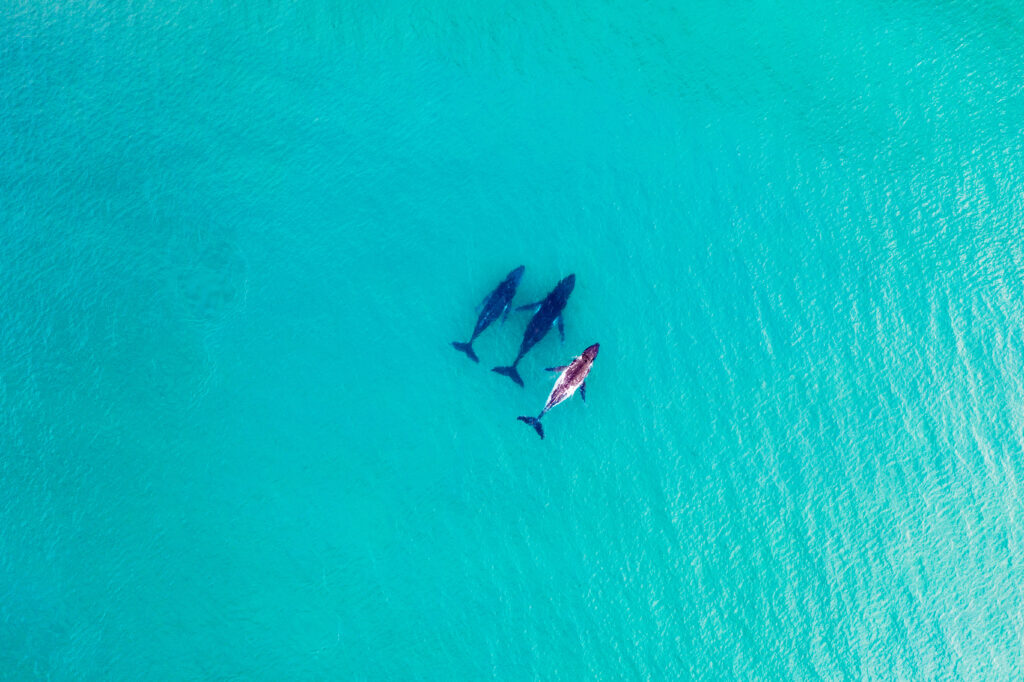
They may be the largest mammal but accurately tracking whales when 80% of the world’s oceans remain unexplored has historically has been a challenge.
But scientists from a company with a base in West Cumbria have collaborated on a project which using AI and space technology could make this task easier.
HiDef Aerial Surveying, based in Workington, and led by sister company Bioconsult SH have worked on SPACEWHALE, a project which monitors whales and other wildlife species from space using satellite imagery and artificial intelligence to work out where they are.
High resolution imagery, able to capture details with a resolution of just 30cm, means it’s possible to accurately identify whales even in the wide blue yonder.
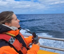
“There is lots of effort at the moment in using other autonomous platforms such as gliders, drones and vessels on the sea surface so it’s a very popular area in marine science just now,” Dr Kelly Macleod, associate director of science for HiDef told Business Crack.
“With SPACEWHALE, so that’s obviously monitoring whales from satellite but there were challenges that we identified in terms of how do we survey whales in pretty remote places?
“There are risks in terms of sending people out on boats and some of them are too far out for aircraft to reach so the solution we thought of was to try satellite.”
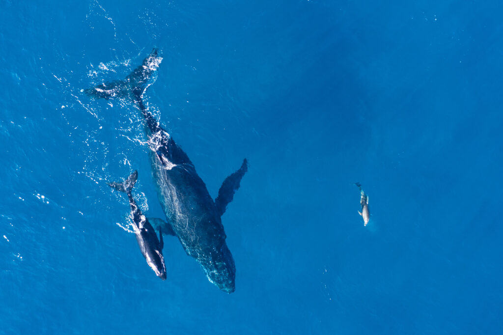
The quality of imagery, the resolution, means scientists can distinguish between several large whale species as well as between juveniles and adults measuring several metres. As technology develops it may be possible eventually to differentiate between individual whales.
“We developed a semi-automatic process to evaluate satellite images combining state-of-the-art artificial intelligence with marine mammal expertise,” Dr Macleod said.
“For example one area we studied was off the Auckland Islands where we knew southern right whales would be with their calves. What’s really important is that we were able to validate what we saw by timing the survey to overlap with a boat-based survey with researchers from the University of Auckland.”
AI does a first pass through the images using so-called bounding boxes where each image is scanned and a box is placed around things that it thinks could be a whale.
A second stage, known as a human in the loop process, involves an identification specialist from HiDef or Bioconsult will examine the image and decide if it is a whale or not and what species it is.
What began as an internal project funded by Bioconsult SH was expanded thanks to support from the European Space Agency.
A research paper which contains details of the methods used shows a high degree of accuracy.
A study in collaboration with Stony Brook University in New York and HiDef showed the algorithm used correctly classified 100% of images containing whales and 94% of images containing only water.
“The numbers that we counted from SPACEWHALE compared with the boat numbers was very comparable and it was great that we could actually see the calves as well,” Dr Macleod said.
“But also what was good with the satellite images is that in one day we’re able to cover a much bigger area than the researchers on the boat were able to.
“We had detections of potential southern right whales that were beyond the core area that the boat researchers focus on.
“What was quite interesting is perhaps the range of these whales is a bit larger than we previously thought.”
The project has a commercial application. The development of offshore wind turbines is gathering pace in Australia where HiDef has an office and it’s hoped developers will commission the company to carry out research in advance of planning applications.
With regular satellite coverage surveys can be carried out over different, large areas meaning long term monitoring is possible to balance species conservation with human use of the seas.
“The waters around Australia have really important migration routes and breeding areas for endangered species such as the pygmy blue whales that we don’t really know very much about,” Dr Macleod said.
“Monitoring methodology has its own strengths and weaknesses and I don’t think it will ever replace traditional methods so it’s best to bring them together.”